Image Processing and Computer Vision
These examples show geospatial capabilities in image processing and computer vision applications. Within the examples, use Mapping Toolbox™ software to:
Read data from shapefiles, KML files, and GeoTIFF files.
Access coordinate reference system (CRS) data stored in LAS and LAZ files.
Associate images with raster reference objects.
Display data on 2-D and 3-D maps.
Featured Examples

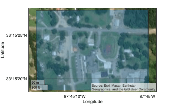
Crop and Mask Large GeoTIFF File Using Shapefile
Efficiently crop and mask a large GeoTIFF file using a shape from a shapefile.

Process Large GeoTIFF File as Blocked Image
Efficiently apply and visualize image processing operations on a large GeoTIFF file using a low-resolution mask.

Find Regions in Spatially Referenced Multispectral Image
Identify water and vegetation regions in a Landsat 8 multispectral image and spatially reference the image.

Export Point Cloud Segmentations to KML Files
Export segmented point cloud data to Keyhole Markup Language (KML) files and read and visualize the KML data using different tools.
Visualize Point Clouds on Maps Using Coordinate Reference System from LAS/LAZ Files
Transform a point cloud between coordinate reference systems.