Multi-Sensor Labeler
R2026bLabel ground truth data in images, videos, and point clouds across multi-sensor scenes
Since R2026b
Description
The Multi-Sensor Labeler app enables you to label ground truth data in videos, image sequences, and lidar point clouds from multiple sensors capturing the same scene.
Using the app, you can:
Simultaneously label multiple time-overlapped signals representing the same scene.
Define rectangular, rotated rectangular, point, line, polygon, projected cuboid, cuboid, pixel, Semantic Point, and scene label definitions. Use these labels to interactively label your ground truth data.
Use Semantic Point tools including brush, lasso and cluster selection to label individual points in point cloud data.
Use built-in AI-assisted detection and tracking algorithms to label ground truth data automatically.
Write, import, and use custom automation algorithms to automatically label ground truth data.
Label data in burst mode, which enables you to draw labels on static objects and apply those labels across multiple frames simultaneously.
Use the Projected View option to view point cloud labels in top, front, and side views simultaneously.
Use the XY View, YZ View, and XZ View options to get the top view, front view, and side view of a point cloud scene, respectively.
Use the Camera View option to create and reuse custom views of the point cloud data.
Use the Auto Align option to rotate and best fit a cuboid to a cluster.
Remove the ground plane from point cloud scenes for clearer labeling.
Evaluate the performance of your label automation algorithms by using a visual summary.
Export the ground truth labels as a
groundTruthMultiSensorobject. You can use this object for system verification or for creating training data for object detection, semantic segmentation or instance segmentation networks.Display time-synchronized signals, such as CAN bus data, by using the
lidar.connector.Connectorclass.
The app supports videos, image sequences, and a variety of point cloud formats including
PLY, PCD, LAS, LAZ, and E57 files, and Velodyne, Hesai, and Ouster PCAP files. The app also
supports ROS (.bag) and ROS 2 (.db3,
.mcap) bag files, which can contain both image and point cloud
signals.
To learn more about this app, see Get Started with Multi-Sensor Labeler.
The Multi-Sensor Labeler app consolidates and replaces the Ground Truth Labeler (Automated Driving Toolbox) and Lidar Labeler apps into a single, unified labeling environment. If you are transitioning from these apps, see Migrate from Ground Truth Labeler and Lidar Labeler Apps to Multi-Sensor Labeler App.
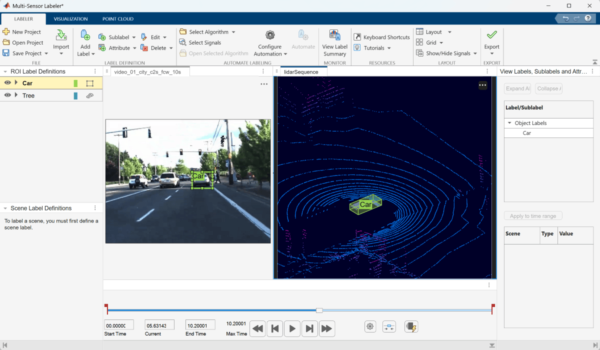
Open the Multi-Sensor Labeler App
MATLAB® Toolstrip: On the Apps tab, under Image Processing and Computer Vision, click the app icon.
MATLAB command prompt: Enter
multiSensorLabeler.
Examples
Programmatic Use
Limitations
Semantic Point ROI labels do not support sublabels or attributes.
Pixel ROI labels do not support sublabels or attributes.
Cuboid ROI labels do not support sublabels.
The Label Summary window does not support sublabels or attributes.
More About
On the left side of the app, the ROI Label Definitions pane
contains the region of interest (ROI) label definitions that you can mark on the frames. You
can create label definitions using the Add Label option from the app
toolstrip. Alternatively, you can create label definitions programmatically by using a
labelDefinitionCreatorMultiSensor object and then import these label definitions
into an app session.
The app supports the definition of ROI labels, sublabels, and attributes.
An ROI label is a label that corresponds to a region of interest (ROI) in a signal frame. The table describes the supported label types.
| ROI Label | Description | Example |
|---|---|---|
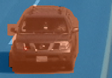
Rectangle/Cuboid | Draw rectangular or cuboidal ROI labels around objects, depending on the signal type.
| Vehicles, pedestrians, road signs
|
| ||
Rotated Rectangle | Draw rotated rectangular ROI labels around objects. |
|
Point | Draw point labels in an image signal to identify objects. |
|
Line | Draw linear ROI labels to represent lines. To draw a polyline ROI, use two or more points. | Lane boundaries, guard rails, road curbs
|
Projected Cuboid | Draw cuboidal ROI labels (3-D bounding boxes) on image signals. |
|
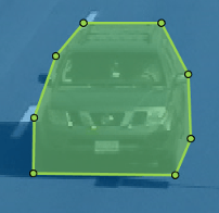
Polygon | Draw polygon ROI labels. You can label distinct instances of the same class. For more information on drawing polygon ROI labels for instance and semantic segmentation networks, see Label Objects Using Polygons for Instance Segmentation (Computer Vision Toolbox). | Vehicles, road surface, trees, pavement
|
Pixel | Assign labels to pixels for semantic segmentation. You can label pixels manually using polygons, brushes, or flood fill. For more on pixel labeling, see Label Pixels for Semantic Segmentation (Computer Vision Toolbox). | Vehicles, road surface, trees, pavement
|
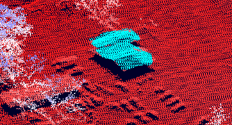
Semantic Point ROI | Assign labels to individual points in point cloud data for semantic segmentation. You can label points using brush, lasso, smart lasso, cluster selection, and planar region selection tools. |
|
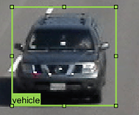
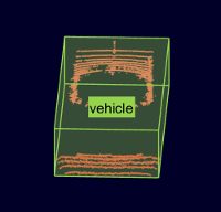
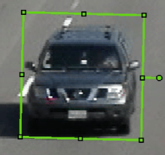
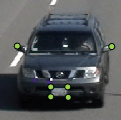
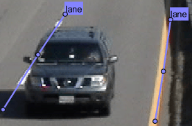
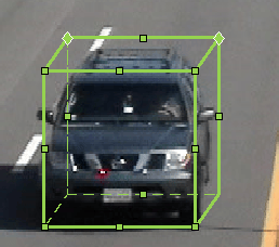
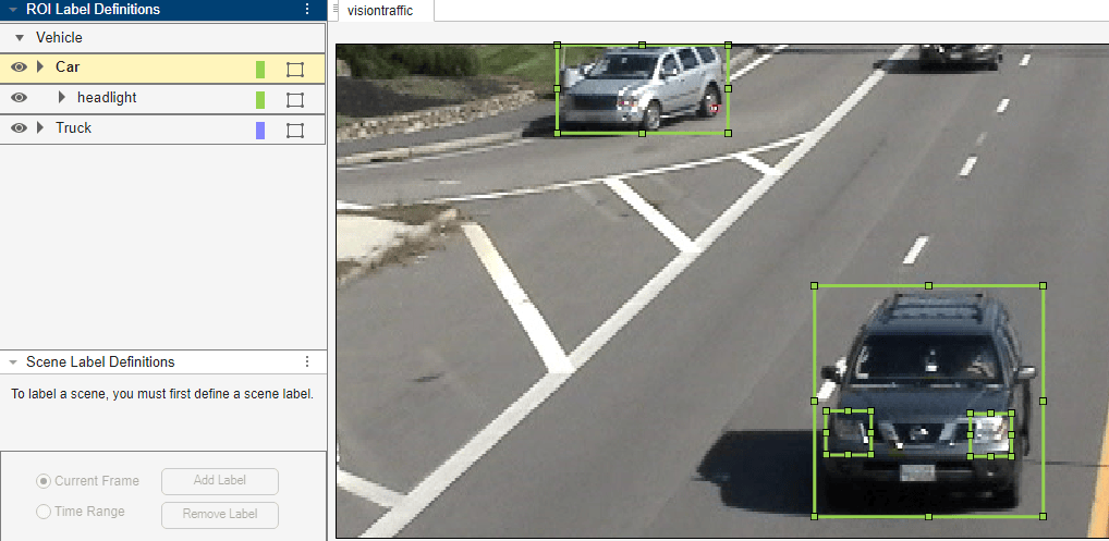
An ROI sublabel is an ROI label that belongs to a parent label. Use ROI sublabels to provide a greater level of detail about the ROIs in your labeled ground truth data. For example, a vehicle label might contain headlight, licensePlate, and wheel sublabels. You can create sublabels only for axis-aligned and rotated rectangular, polyline, and projected cuboid labels. For more details about sublabels, see Use Sublabels and Attributes to Label Ground Truth Data (Computer Vision Toolbox).
You can view and edit label hierarchies, sublabels, and attributes for the selected ROI label in the Label, Sublabel, Attributes tree table on the right side of the app.
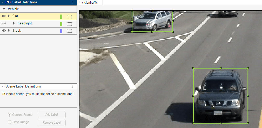
You can show or hide the labels or sublabels in a labeled ground truth data by using
the  icon on the ROI Label Definitions
pane. The appears only after you define a label or sublabel. By
default, the app displays all the labels and the sublabels.
icon on the ROI Label Definitions
pane. The appears only after you define a label or sublabel. By
default, the app displays all the labels and the sublabels.
To hide a label or sublabel, click on the icon alongside the label or sublabel name. The app hides
the corresponding label or sublabel and displays the  icon.
icon.
|
|
|
An ROI attribute specifies additional information about an ROI label or sublabel. For example, in a driving scene, attributes might include the type or color of a vehicle. The table describes the supported attribute types.
| Attribute Type | Sample Attribute Definition | Sample Default Values |
|---|---|---|
|
|
|
|
| |
|
| |
|
|
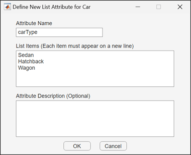
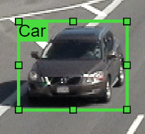
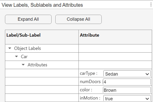
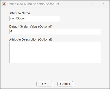
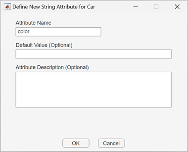
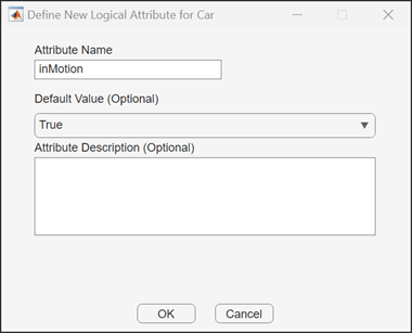
For more details about attributes, see Use Sublabels and Attributes to Label Ground Truth Data (Computer Vision Toolbox).
Tips
To avoid having to relabel ground truth with new labels, organize the labeling scheme you want to use before marking your ground truth.
You can copy and paste labels between signals that are of the same type.
Remove the ground plane to clearly view the created object labels in point cloud signals.
Use the rotate, translate, expand, and shrink options to edit cuboids after drawing them.
Use the Camera View option to save a view of the point cloud data from the current angle and direction.
Use burst mode to label static objects across multiple point cloud frames simultaneously.
Algorithms
Version History
Introduced in R2026bSee Also
Objects
Classes
vision.labeler.AutomationAlgorithm(Computer Vision Toolbox) |vision.labeler.mixin.Temporal(Computer Vision Toolbox)

